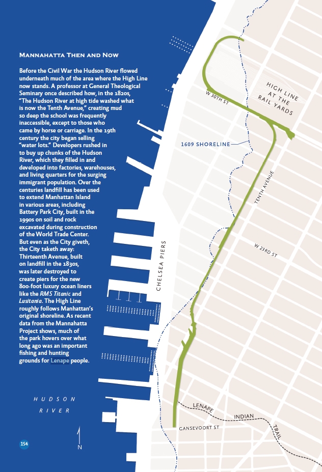
Manhattan Island’s 1609 shoreline, with the Lenape trail passing under today’s High Line
Of the many additions to the revised & updated version of On the High Line, one of my favorites is a new map created by Maps For Good co-founder Marty Schnure. It uses data from the Welikia Project to show the path of an historic Native American Indian trail that once cut below today’s Gansevoort Woodland in the High Line park. (Click the image to enlarge it.)
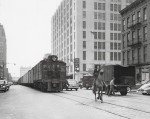
Four hundred years ago, before the first Europeans arrived, this area was a prime hunting and fishing grounds for the Lenape people. From the estuary of the Hudson River they pulled 12″ oysters, 6′ lobsters and more than 70 species of fish. On land they hunted countless species of mammals including deer and bear.
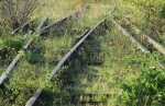
In those days, the river was a bit closer to today’s park. We’ve been expanding the borders of our island for centuries; Marty’s map shows the original 1609 shoreline, which the High Line roughly follows. Intriguingly, the line bisects the Western Rail Yards at exactly the point where the temporary path in section three of the park will begin once it opens in the Fall. This path will lead visitors through the still-wild landscape that emerged after the rail line was abandoned, and toward a glorious view of the river — all of which takes place on modern landfill.
The second edition went on-sale this week, and continues to peel back the layers of landscape around the High Line, offering historical and cultural context for readers interested in the story of this fascinating place. [continue reading…]