

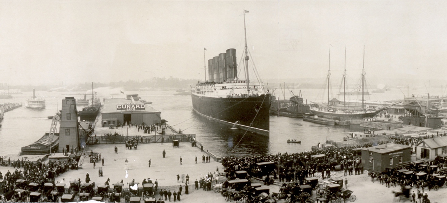
In a landscape so dominated by verticals and horizontals, the arched steel entryway to Pier 54 (at the foot of 13th Street) stands out along the Hudson River and makes a handsome contrast. Perhaps no other pier in America has so much history attached to it. Completed in 1910, it was designed by Warren & Wetmore, the architectural firm that co-designed Grand Central Terminal; two years later the Cunard ship Carpathia docked here to discharge survivors of the RMS Titanic, which had been heading for Pier 59, today the golfing range of the Chelsea Piers fitness club. In January 2012 I was thrilled to witness the Queen Elizabeth of the Cunard line sailing by the remnants of this once grand pier.
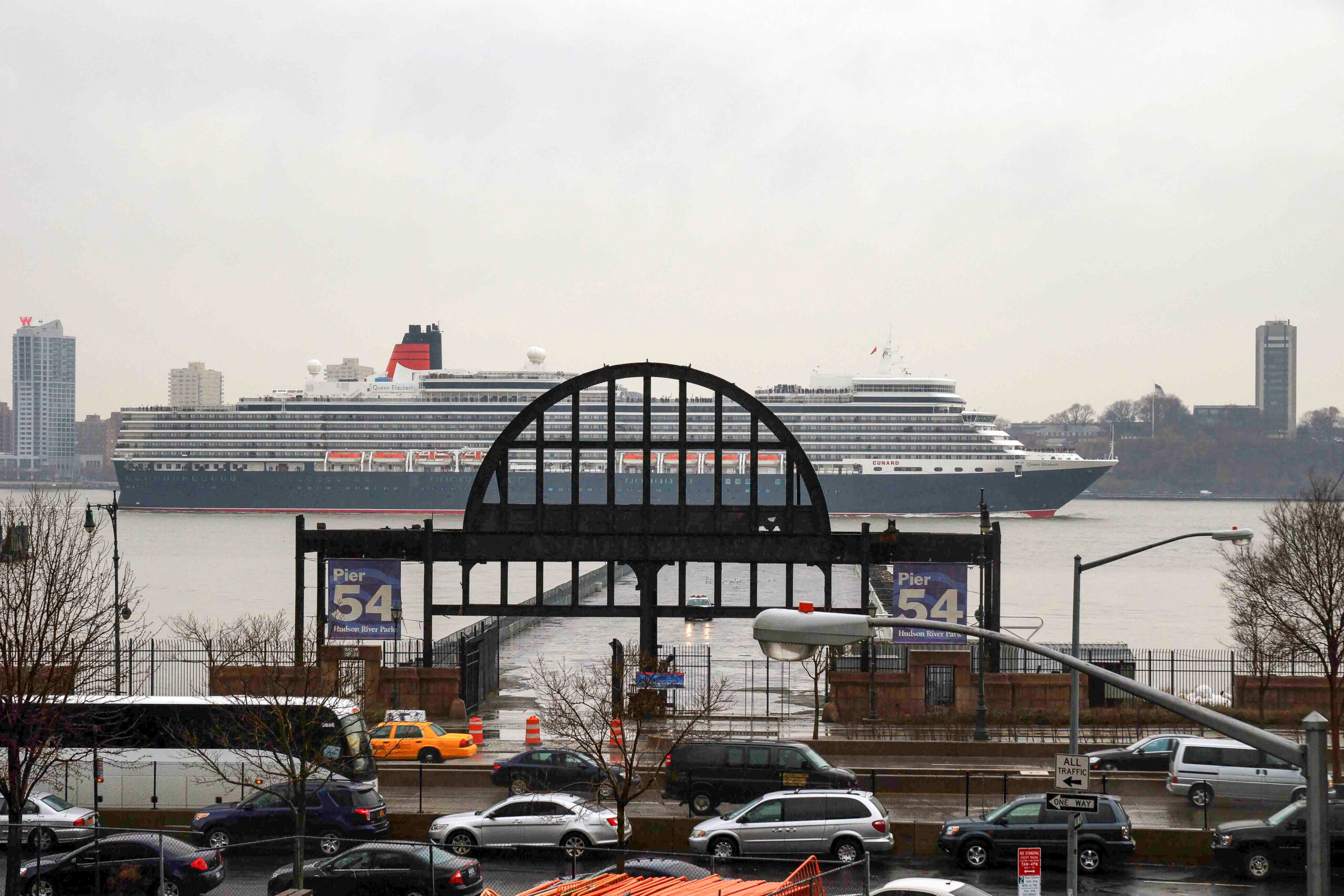
In May 1915 the Lusitania departed from Pier 54 and only days later was torpedoed by the Germans,
an event that mobilized public opinion in support of the United States’s entry into World War I. The pier was again pressed into service during World War II, when it was used for troopships. In the 21st century it became a venue for rock concerts and a major party site during New York’s annual Gay Pride celebration. After it was closed to crowds, Pier 54 assumed a new — and my favorite — role for city residents of all ages: a safe place for parents to teach kids how to ride a bicycle.
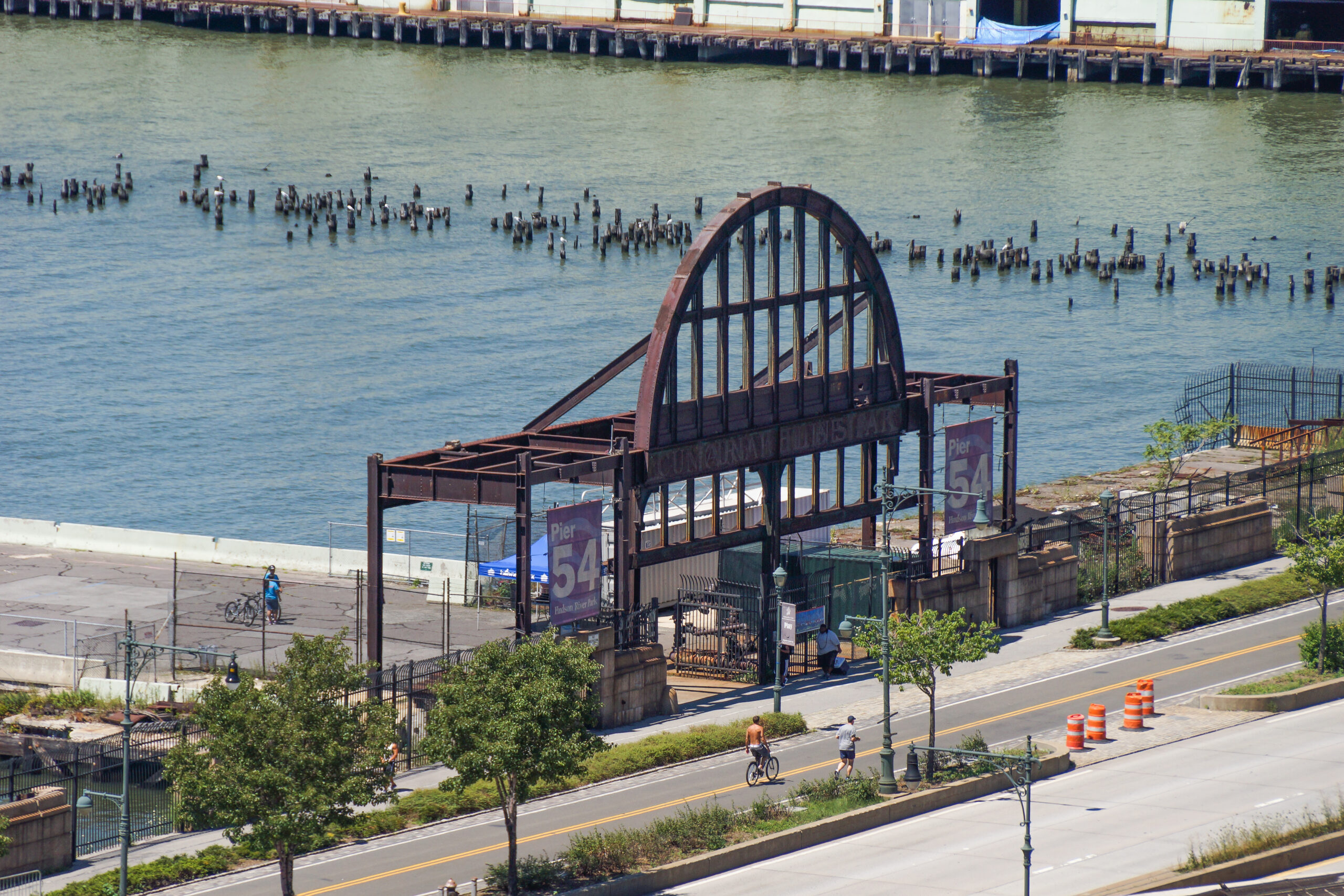
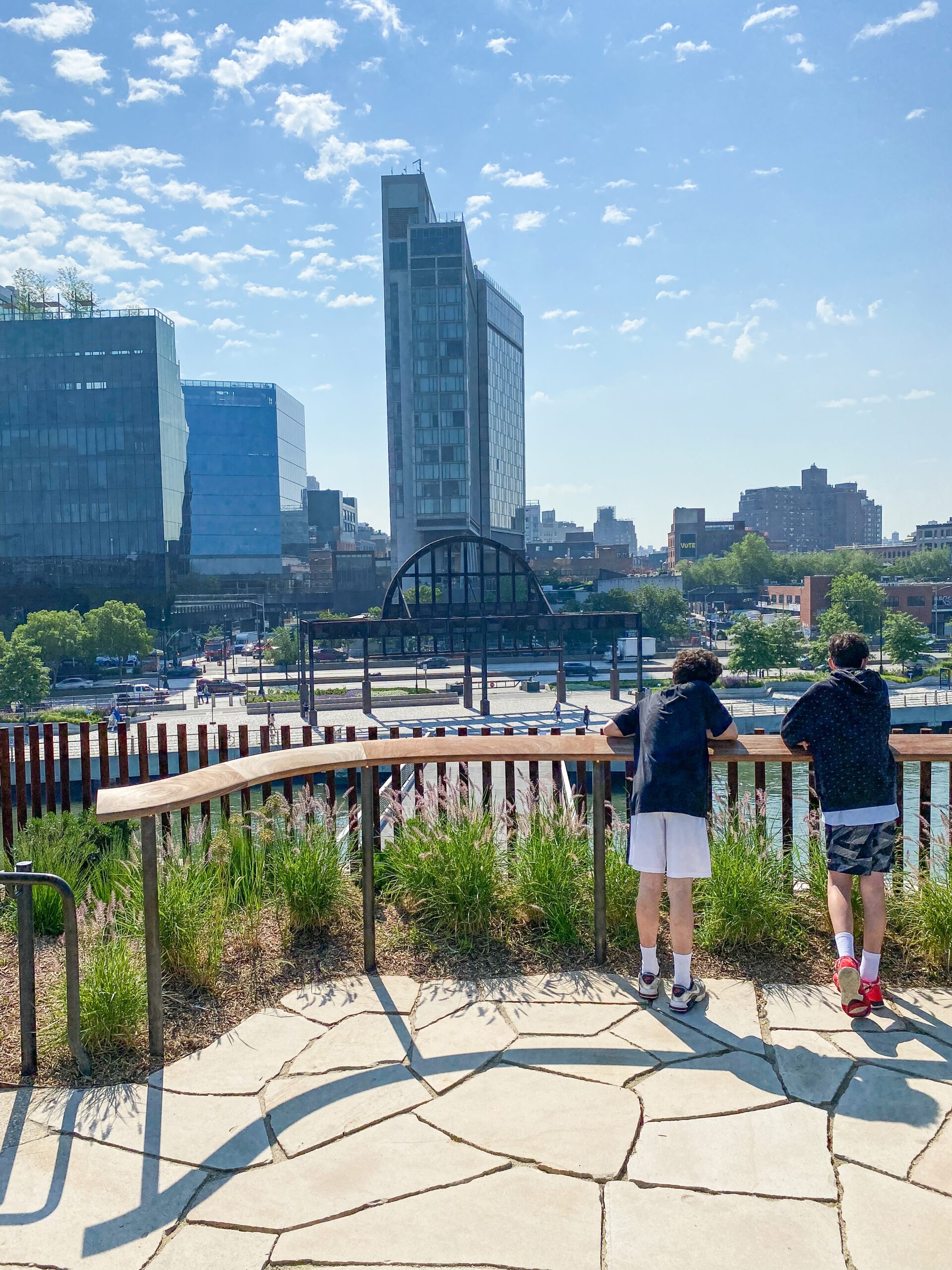
Today, Pier 54 has been reconfigured as part of Barry Diller’s “Little Island,” which I wrote about here. This new park offers a wonderful view of the old archway, now from its backside.
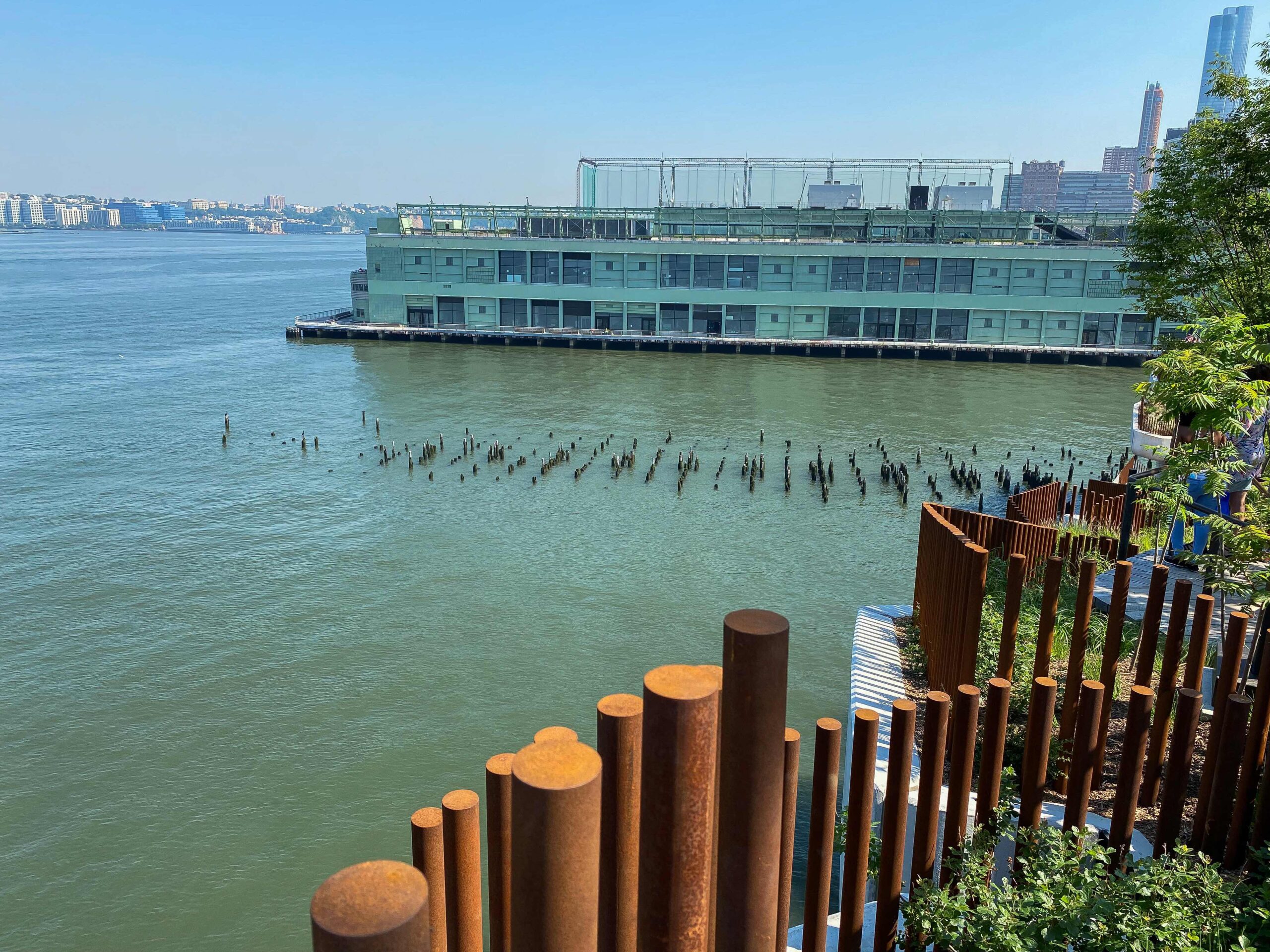
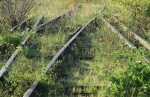
Diller Island also offers a wonderful perch for studying up-close the “pile fields” of neighboring piers. These are the remnants of piers that recall the early 19th century, when this was the busiest port in America. It supported a massive trading empire that stretched across the oceans to include South America, Spain, Portugal, England, and China. The piers may be long gone but the piles remain because they provide habitat for various fish species, including striped bass, flounder, Atlantic herring, American eel, white perch, and bay anchovy. They’re also used by barnacles, clams, sea grapes, and shipworms, a form of mollusk that bores holes in the wood and eats the sawdust. We humans are never alone along the Hudson River.


Lovely, thank you. It’s remarkable to think how the shoreline here has itself ebbed and flowed over many generations with our changing needs and desires, as we have extended Manhattan into the river, retreated to make room for larger ships, and are now extending into the river on stilts with Little Island.
“ebb and flow” is a wonderful way to put it. We owe such a debt to the Welikia Project for tracing and mapping the original shoreline of our island. For my High Line book we created a map showing the 1609 shoreline and the High Line side by side; it’s here: https://www.livinthehighline.com/wp-content/uploads/2015/04/Lenape-Shoreline-Map_568x800.jpg